Holy Year on the Camino
Let’s start from the beginning:
What is a Holy Year?
Un Año Santo or Jubileo (Jubilee) is a special year in the Catholic Church. During these special years, an indulgence (indulgencia) is granted to those who fulfill certain criteria.
To differentiate it from other Holy Years, the one in Santiago can be referred to as jacobeo (of St. James) or compostelano (from Compostela). You may also see the Galician word Xacobeo to refer to it.
We have an Año Santo Jacobeo or Año Santo Compostelano when July 25, feast of St. James, falls on a Sunday. So, we have a Holy Year in Santiago every 6, 5, 6 and 11 years.
The last Holy Years were 2010 and 2021. The next one is next year, 2027.
Some sources date the first Año Santo Compostelano in the 12th century but research has shown this to be false. The first documented Holy Year took place in 1424.
El Jubileo
In order to obtain the Jubilee or indulgence during Holy Years you must:
- visit the tomb of St. James and say a prayer for the Pope.
- confess, 15 days before or after your visit to Santiago.
- receive holy communion
It’s worth noting that getting a jubilee and a compostela are not connected. To get a compostela, you must walk at least 100km of any Camino, and end in Santiago. This will not grant your indulgence. For that, you must fulfill the requirements listed above. And you can travel to Santiago by any means.
In other words, you could drive up to Santiago, visit the tomb of the Apostle, say your prayers and receive confession and communion. You would be receiving the jubileo. But not a compostela. On the other hand, you could walk over 100km to Santiago and not do any of the others things. You could then claim your compostela, but wouldn’t be earning the indulgence.
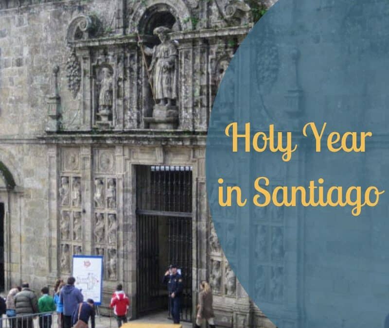
The Holy Door of the cathedral
To mark the beginning of a Holy Year, a special ceremony performed by the Archbishop takes place in the cathedral. This happens in the evening of December 31. During this ceremony, the Holy Door or Puerta Santa is opened.
In case you’re wondering what’s so special about a door being opened: the Puerta Santa only gets opened during Holy Years. The rest of the time, it remains closed. At the end of a Holy Year, a new ceremony takes place to close the door again. It will remain closed until the following Año Santo.
So, it’s been closed since the end of 2022 (the last Holy Year was extended due to the pandemic). Before that, the last time people were able to access the cathedral through the Holy Door was in 2010.
The only time a Holy Year was extended (apart from 2021-22) was in 1937-1938 due to the Spanish Civil War.
Access to the Puerta Santa is from Plaza de la Quintana.
How does a Holy Year affect the Camino?
Holy Years tend to be busier than usual on the Camino.
To give you an idea, the Holy Year of 2010 saw an 85% increase in the number of pilgrims collecting their Compostela, compared to the previous year.
2022 saw a 234% increated compared to 2021. I know this is not representative, because we were just coming out of a long period of travel restrictions, but you can still expect a higher increase in the number of pilgrims than on a regular year.
If you’re looking for a quiet Camino, maybe look for less traveled routes. If you don’t mind the crowds, and entering through the Holy Door holds a special significance for you, then go for it!
A summary of 2021’s opening ceremony
Today’s Spanish words for the Camino
Año Santo
Indulgencia
Jubileo
Jacobeo
Xacobeo
Quintana
Puerta Santa
Want more?
Make sure you don’t miss any posts or announcements by subscribing for free here. You’ll receive a free Spanish vocabulary guide with your first Spanish words + cultural tips. And… you’ll get access to exclusive content too.